
Egypt’s Water Resources and Irrigation Ministry is expanding its use of satellite imagery and remote sensing to detect encroachments, newly constructed structures and other changes along waterways as part of efforts to digitise water management.
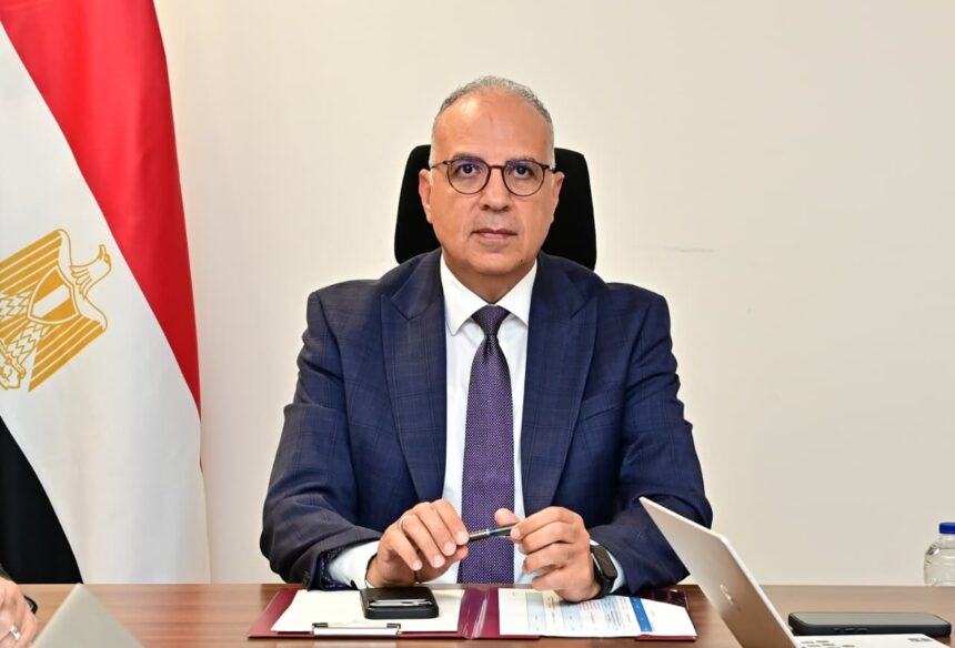
Water Resources and Irrigation Minister Hani Sewilam reviewed a model developed by the ministry using Google Earth Engine to analyse satellite images and identify changes around canals and other water bodies, including new structures and alterations to waterways.
Sewilam said expanding the use of remote sensing would improve the monitoring of waterways, enable faster detection of changes and provide more accurate data for water management and decision-making.
The ministry is also using satellite data to develop geospatial databases documenting encroachments and changes along waterways, helping field teams locate potential violations and respond more efficiently.
Sewilam directed officials to integrate satellite observations with field measurements and existing ministry databases, while using artificial intelligence and geographic information systems to analyse the data and generate indicators for planning and monitoring.
The ministry said the initiative forms part of its “Water System 2.0” programme, which places greater emphasis on digital technology and data-driven management of water resources.
The statement did not specify a timetable for expanding the model across all waterways or disclose how many encroachments had been detected using the system.