
(Photo by Hassan Ibrahim/DNE)
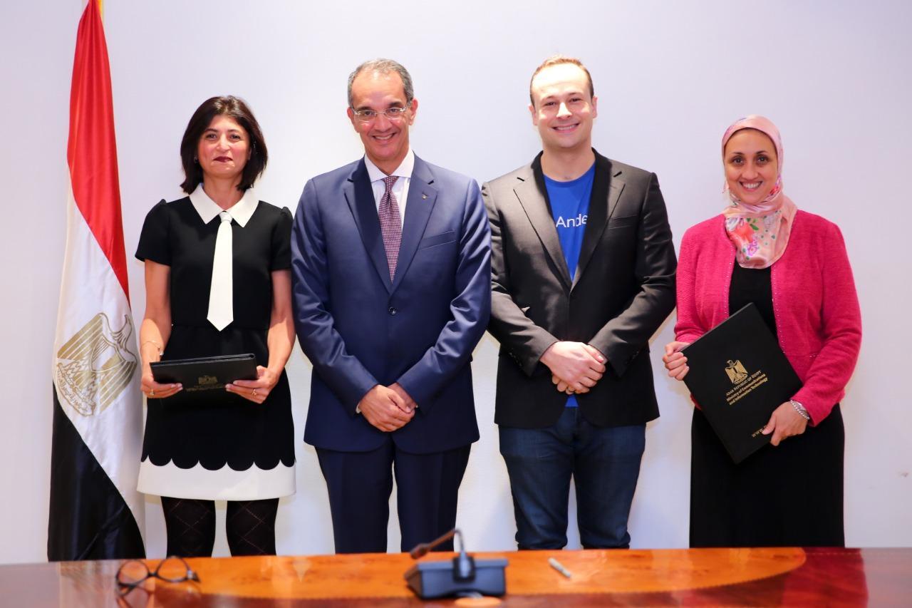
A six-year protocol was signed on 9 November between the Ministry of Communications and Information Technology (MCIT) and the Ministry of Agriculture and Land Reclamation (MALR) to activate the role of Information and Communications Technology (ICT) and the use of technical systems in the agriculture sector, according to an official statement issued by MCIT.
Minister of Communications and Information Technology Atef Helmy and Minister of Agriculture and Land Reclamation Ayman Abu Hadid signed the cooperation protocol in order to enhance the efficiency of work and services provided by MALR.
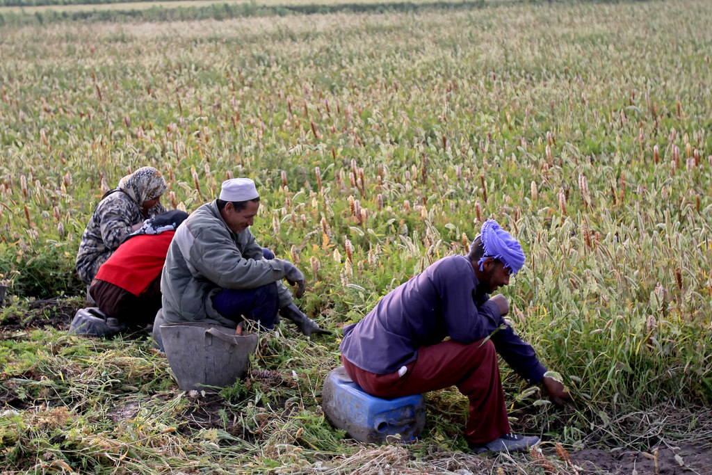
The official statement added that the protocol aims at facilitating access to services provided by MALR to support the agriculture system and spread awareness among farmers in Egypt.
Alaa El-Hayess, the supervisor of the protocol’s implementation at the MCIT, stated that MCIT will automate the Agricultural Land Registration project create a database of land owners, linking the amount of the agricultural land farmers own to their national ID numbers.
The project will also help direct the state’s subsidies of fertilisers and production supplies to the intended beneficiaries and build an information system to manage the agricultural land registration. This will facilitate the decision-making process and aid in predicting the level of water consumption and the size of crops, which will result in an improvement in their pricing policies. These are among the main goals of the project.
The cooperation protocol includes creating a digital map for state land under the supervision of the General Authority for Rehabilitation Projects and Agricultural Development (GARPAD), which will create an information system and a geographic database for GARPAD lands.
The signed protocol also includes a fishery automation project to help limit lake and fish farm infringements.